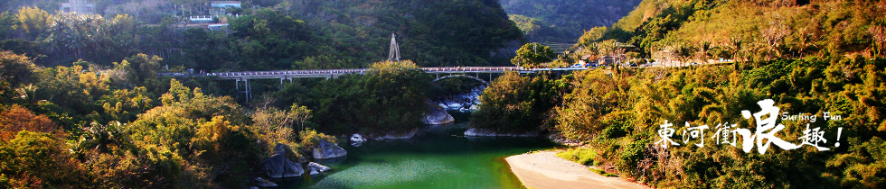
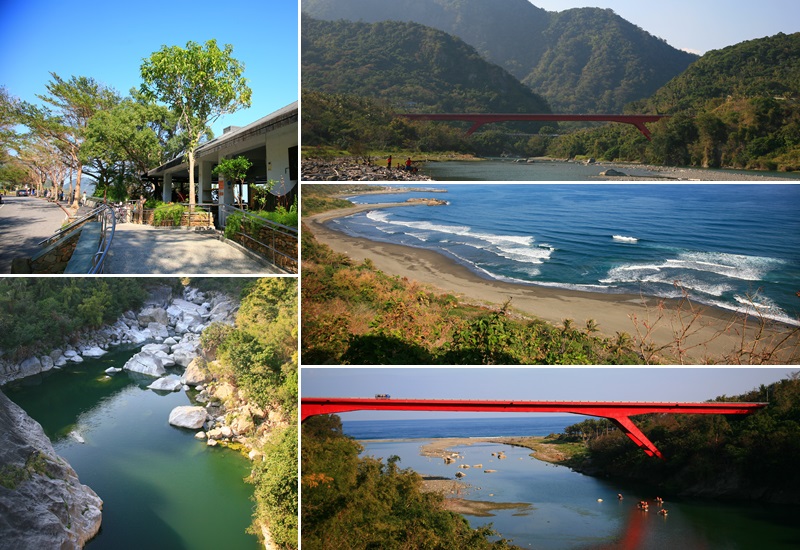
Donghe Township located at the north east side of Taitung country, with Chenggon Township neighboring north, facing the Pacific Ocean at the east, Chishang and Guanshan Township at the west and south to Beinan Township. Donghe village is one of the village in Donghe Township along the coast. Marongarong, called by the Tribe Amis, is the former term of the River Mawuku, which now flows under the Donghe Bridge. Observed speedy by the early ancestors, the Amis described this rushing river by the onomatopoeia, rongarong, which turned into Marongarong by adding an expletive, Ma, at the front. Till the period of Japanese rule, the Japanese troop police entitled this village as “Mawuku Aboriginal Tribe.” In the 20th year of Republic Era, the name changed into “Tribe Dama”, After Restroration to ROC, the it was renamed as “Donghe village”, which is the present administration. |
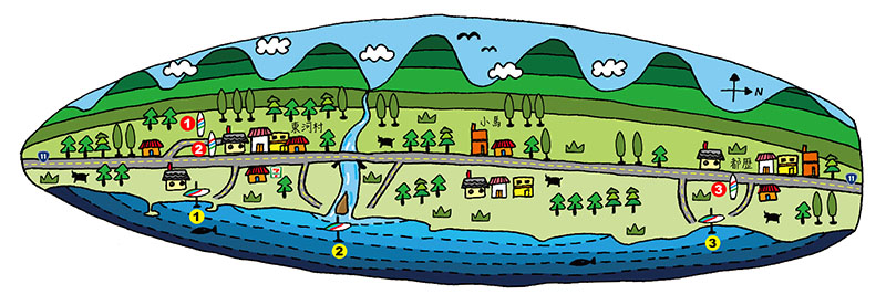
With Provincial Highway No. 11 passing through the coast line of Taitung, just go along the Highway No. 11 can simply find Donghe. Since railway does not pass Donghe, the transportations of which are bus, car or bike. The coast line bus departed every day from Taitung downtown or Taitung new station stops at Donghe. For going by car, driving along Highway No. 11 and enjoying the beautiful scenery, Donghe village is located at 132 Km. |
Occasionally in a year, “Marongarong tourism and local special product cultural festival” is held in Donghe. In which, plenty of singing and dancing performances are hosted as well as the vendors of local fruit such like Valencia orange, pomelo and etc. |