|
>>GPS |
|
The
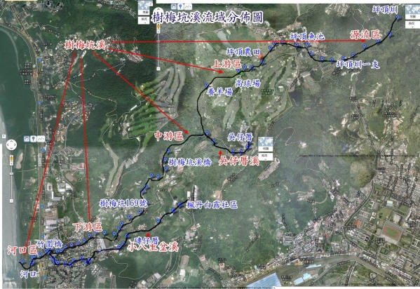
Drainage area and the route of Plum Tree Creek |
|
The
related data of The Drainage area and the route of Plum
Tree Creek isn't very accurate. |
|
1.
Most of the maps along the river are schematic and have
a big difference to current situation. |
|
2.
If searching by Google map, we can only see some parts
of the river while othersare covered by the buildings
and plants. |
|
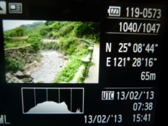
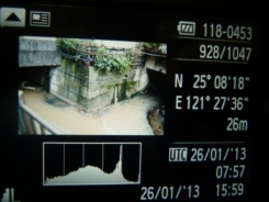
3.
We use GPS of the camera and take pictures along the
river every 100 to 300 miles and set the coordinates. We
got 100 GPS coordinates in toltal. |
|
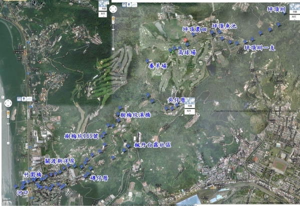
4.
Putting out GPS coordinate onto the Google map and
connect them to find out the accurate position of the
Plum Tree Creek and resetthe drainage area and the
route. |
|
5.
Registration on Google map (Blue
dots) |
|
 |
|
6.
Finish the Map of Plum Tree Creek (Connecting
the points) |
|
 |
|
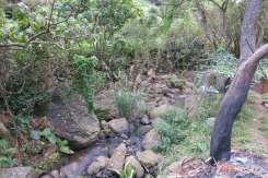
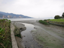
Origins
from the head stream of Gui-Zhi Keng(N25° 9' 35.88
E121° 29' 42.51" height 322M)passing
throughPingding and Wu's house and meet Xiaobaliben
Brook before flowing into Damsui River( N25° 8'
13.97", E121° 27' 28.31" height 10M). It's
total length is about 12 kilometers. |