|
a)
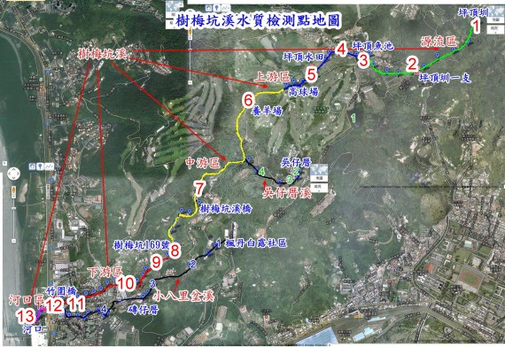
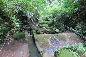
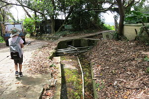
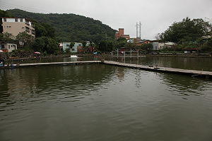
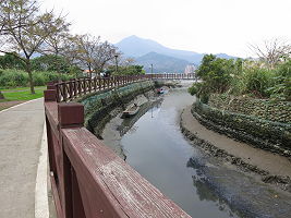
Plum
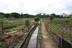
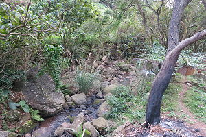
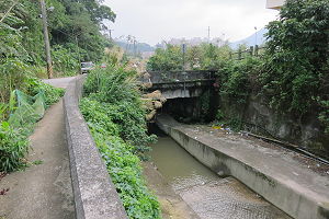
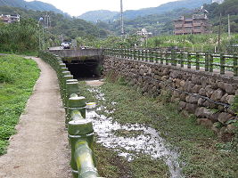
Tree Creek can be divided into five regions, the origin
area, upstream, mid-stream, downstream and estuary.
The other two streams are the Wu’s
House
River
at an altitude of 200 meters and the Xiao Ba Li Ben
Brook at the down stream.
b)
The
water quality of Plum Tree Creek is our main research
project. We took 13 samples along the important
locations of the River for water quality testing.
c)
Test
items: NO3,
NO2, NH4, PO4, COD,
conductivity,
TDS, water
transparency, turbidity, dissolved oxygen, Ph and heavy
metal.
Using
Japan Kyoritsu chemical test kits. Test items:
a.
ammonia (0.2~10mg/L)
b.
nitrite (0.005~1mg/L)
c.
nitrate nitrogen (0.2~45mg/L)
d.
total phosphorus (0.1~10mg/L)
d)
Chemical
oxygen demand (0~100 mg/l above) Colorimetric.
Heavy metal pollution of the water quality.
e)
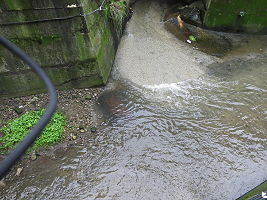
We
separated Plum Tree Creek into origins, upstream,
mid-stream, downstream, estuary and tributary to do the
test and find out the water quality.
Due
to limited funding, our school has no conductivity
meter. We designed a simple conductivity meter and use
the effect of water transparency invented transparent
water quality meters to compare the differences with
turbidity. Simple electrical conductivity meter shows
that water conductivity is 3.52mA and transparent water
quality meter displays water 786 lumen. |