|
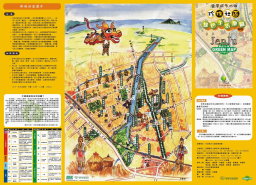
A Green Map is a map that shows ecological
and cultural sites in an environment, which are represented by universal icons.
A Green Map can be used for a campus, a community, a capital or even a nation.
Whether a mapmaker, a user, a local resident or a tourist can all learn more
about a place through a Green Map. Hopefully with Green Maps we can raise more
awareness of our surroundings and provoke more care and protection for our
environment by each person’s willingly changing the way he/she lives into a
more friendly way to the land.
What makes Green
Map System valuable is that it has clearly categorized icons as well as clear
guidelines to using them. An icon represents a type of site. For example, an
apple represents an organic store, an elephant represents a zoo and a bird
represents a bird & wildlife watching spot. There are in total 125
universal icons in ten categories: 1. Economic Development, 2. Culture and
Design, 3. Renewable Resources, 4. Information, 5. Nature: Fauna, 6. Nature:
Flora, 7. Nature: Land and Water, 8. Mobility, 9. Infrastructure, 10. Pollution
Sources. Each icon has a clear definition. Therefore, when we want to record
the rich resources in a region, the icons can help us categorize them quickly.
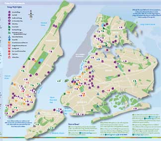
These diverse icons have also broadened our
focuses on life. A Green Map can identify greeneries, historical buildings,
secondhand stores, recycling spots, bicycle rentals, drinking water sources and
pollution sources in a city. These places are all closely related to our lives.
Some of them need protection and encouragement while others need attention and
supervision. Continual observation and care towards these places have helped us
learn more about the changes of a region, to promote a sustainable development,
and to keep a valuable record for the local community.
Source of Material: Green Map / About Green
Map System (Maintained by The Society of Wilderness)
資料來源:綠色生活地圖-認識綠活圖 (由荒野保護協會更新維護)
|