

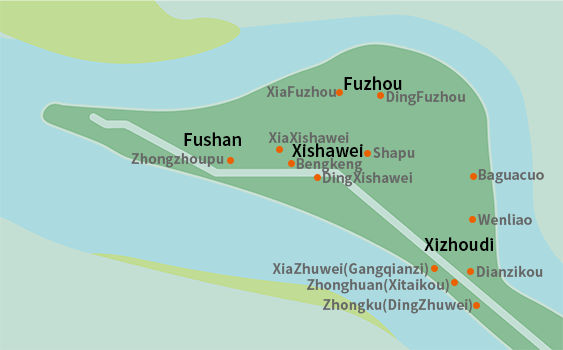
Shezi Island was gradually emerged from Taipei Lake during the Kangxi reign of the Qing Dynasty (about 300 years ago). The new distrincts were mostly named after the formation of rivers, such as Xizhoudi, Fuzhou, Xishawei and Fushan. Local elders are also use these names to call the villages they live in, and also use this as a mark to indicate geographical location.
| Place names | Small place name | Road section | Lane/Alley | Stories |
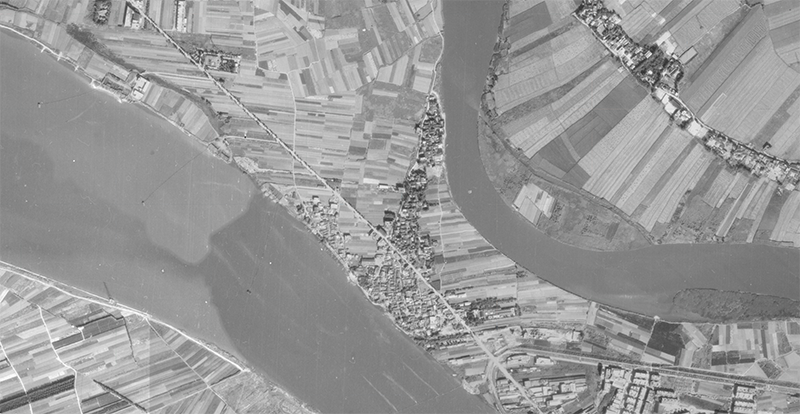
| Xizhoudi | Zhongku (DingZhuwei) |
Yanping North Road Section 7 | Lane 27 & Lane 63 | During the Japanese rule, the Japanese army dug three holes in the bottom of Lane 27, preparing to park a seaplane, one near Lane 6, Lane 27, Lane 27, one in front of Lane 26, Lane 27, and one 20 meters in front of Lane 7, Lane 12, Lane 7, Section 7, Office. Because the cave in the middle is called the middle cave, and it is called Dingzhuangtou and Dingzhuwei. |
| Zhonghuan (Xitaikou) |
From Lane 63 to Lane 107 | The Palace Theatre, which opened in 48 years (1959), is located at the alley of Lane 107. It mainly performs traditional operas and has a seating capacity of 500 people. It was the largest entertainment venue in the community at that time. | ||
| Dianzikou | Lane 106 | There are many shops in the prosperous downtown of Xizhoudi. | ||
| XiaZhuwei (Gangqianzi) |
Lane 145 & Lane 177 | The ferry head is at the bottom of Lane 107 to 145. In the past, water transport was the main era. Various barges selling vegetable boats, transportation boats, crow-raising boats, and water and fertilizer ships were gathered here. Tail to the relay station on the Hoa service. | ||
| Wenliao | Lane 106, N.Alley 52 | 1. In front of Xu Yingma Temple, there is a large paddy field. At that time, the source of irrigation water was pumped from the bottom of Lane 106 and Lane 86 to pump the water from the Keelung River for irrigation. 2. That is swill irrigation. | ||
| Baguacuo | Lane 106, Alley 327 | The bank of the Keelung River, located on the north side of the bottom of Xizhoudi, appeared on the map of Taiwan Fort in 1898. | ||
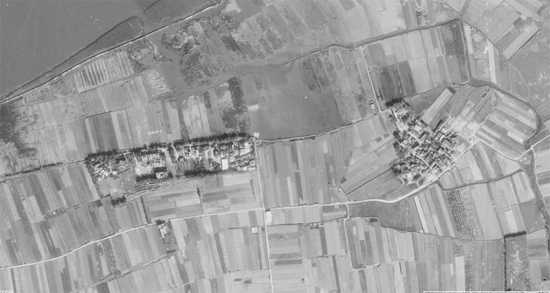
| Fuzhou | DingFuzhou | Yanping North Road Section 8 | Lane 2, Alley 200 | The sand bar that floats out of the river is also the river new life formed by the use of salty grass in the past and the river siltation. |
| XiaFuzhou | Lane 2, Alley 153 | |||
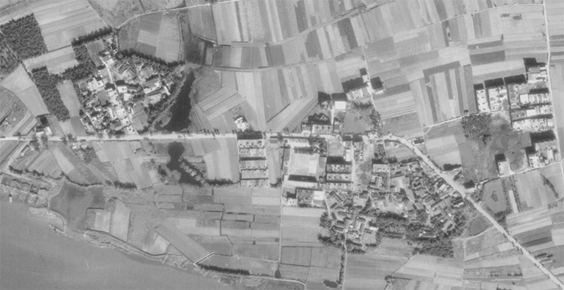
| Xishawei | DingXishawei | The range of Xishawei is roughly at the end of the three streams, namely Pingluogou (Badan 2 and Lane 2), Kuzaitou (Beida 45 before Badan) and Bengkeng (in front of Zhen'an Palace). Xishawei can be divided into Dingxishawei and Xiaxishawei, with a small river in the middle as the boundary line. This river is deep enough to allow ships to enter and exit at that time, until after the typhoon Greeley in 52 (1963) Only this river was silted up. | ||
| XiaXishawei | ||||
| Shapu | Named according to the sequence in which the sandbars were formed. | |||
| Bengkeng | An inland ditch passed in front of Zhen'an Palace in the early days. | |||
| Fushan | Zhongzhoupu | Yanping North Road Section 9 | The line of sand floating up from the river stretches from Wai Ling Temple to Datou Park. |
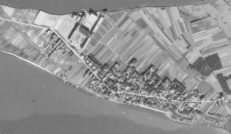
Aerial photo of Xizhou bottom in 1974
Aerial photo of Fuzhou in 1974
Aerial photo of Xisha tail in 1974
Fushan aerial photo in 1974
Reference source:
Shezi Island Aesthetic Association."Interview with celebrities in Shezi Island.", 2007.
Shezi Culture and Education Foundation."2000 Discover Shezi Island Activity Manual", 2000.
Shezi Island Aesthetic Association."Interview with celebrities in Shezi Island.", 2007.
Center for GIS, RCHSS, Academia Sinica. "Centennial History Map of Taipei." [Online] http://gissrv4.sinica.edu.tw/gis/taipei.aspx

- My family lives behind Kuntianting, but I still do n’t know what the old place names are here. The teacher said that there may be many reasons for the old place names. We can know from the place names and the topography or between the place names and society Associated. That's why I really want to know. I will look for information again. !!