Home>>About Zuoying>>Geographic
Geographic
Geographical Zuoying
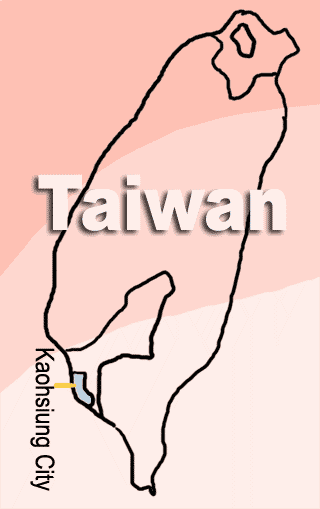
Kaohsiung City is situated on the southwestern coast of Taiwan, facing the Taiwan Strait to the west, beyond the southern tip of the island, and the Bashi Channel to the south.
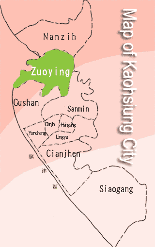
Zuoying District lies in the north of Kaohsiung City. Its form is slightly like a rectangle, and it is the fourth largest district of Kaohsiung City.
Zuoying District adjoins Sanmin District in the east, Gushan District in the south, Nanzih District in the north and the Taiwan Strait in the west. It is a important military station of ROC Navy.
Zuoying District is divided into three parts: ' Sinjhuangzai ', ' Jyuan village ' and ' Zuoying old clan '.

Welcome to Zuoying
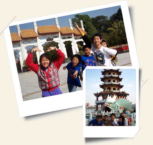
Zuoying not only has a lot of natural surroundings: Banping Mountain, Lotus Pond, Guei Mountain, She Mountain and Da Gu Mountain, but also has friendly people who welcome visitors with the utmost warmth and hospitality.
- Bibliography:
- ◎Kaohsiung Walking
http://kaohsiungwalking.kcg.gov.tw - ◎Story of an old clan-Zuoying
http://gsh.taiwanschoolnet.org/c00/24800005/Home.htm - ◎Get to Zuoying and take a walk
http://www.taconet.com.tw/hmf23/ - ◎Zuoying District Office, Kaohsiung City
http://w4.kcg.gov.tw/~kcgtdo/index.php?strurl=zuoying/humanism.htm